What is a Comprehensive Plan?
A comprehensive plan is a policy document used by City leaders, developers, business owners, and residents to make decisions about future growth, development and capital improvements. The policies outlined in the plan will inform land use and capital improvement decisions, helping to assure Irondale citizens that such decisions are not arbitrary, but rather fit into a unified, long-range vision for the City.
This document recommends goals, strategies and actions for land use, transportation, economic development, public services, and natural and cultural resources. It will serve as a guide for public officials by establishing policies and priorities, and providing the framework for evaluating development proposals. It expresses the community’s vision and priorities, and describes where and how development should occur.
The plan was developed in accordance with Alabama Code of Law § 11-52-18.
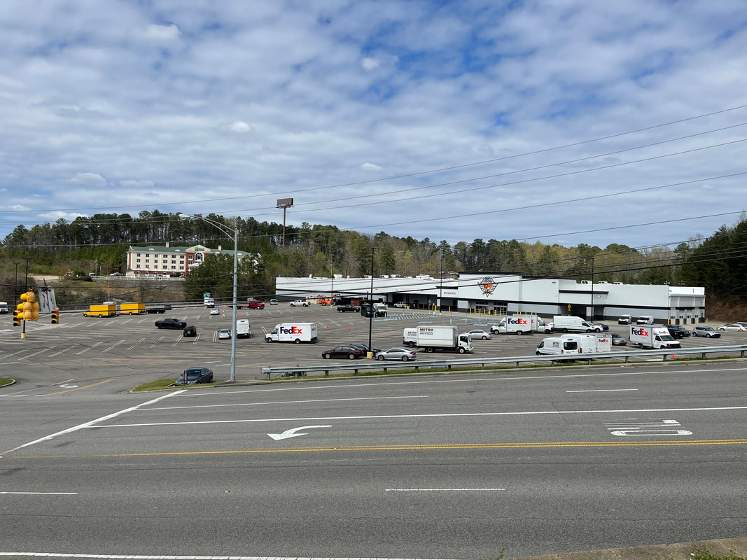

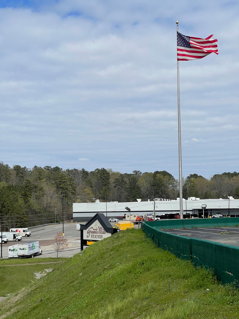
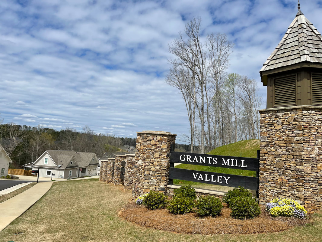

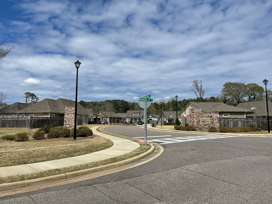
Blueprint Irondale is planning for today's Irondale.
Relationship Between Zoning and the Future Land Use Map
The Future Land Use Map in Chapter 4 expresses the community’s vision for how they want to see Irondale develop over time. It is a guidance document, not a set of regulations. It does not replace the City’s zoning and development regulations. The Future Land Use Map and the descriptions of each Future Land Use category are intended guide decisions on zoning cases and discretionary permits by the Planning and Zoning Board and City Council.
The Planning and Zoning Board and Council should refer to the Future Land Use Map whenever they evaluate a proposed rezoning or land use question. If the proposal is consistent with the Future Land Use Map, then they should approve it; if it is not, then they should evaluate other alternatives. The Future Land Use Map is not a static document, however; it can and should be periodically updated to reflect changes in real conditions and community preferences.
The Planning and Zoning Board and Council should refer to the Future Land Use Map whenever they evaluate a proposed rezoning or land use question. If the proposal is consistent with the Future Land Use Map, then they should approve it; if it is not, then they should evaluate other alternatives. The Future Land Use Map is not a static document, however; it can and should be periodically updated to reflect changes in real conditions and community preferences.
How does the Comprehensive Plan apply to my property?
A comprehensive plan is a general, long-range vision for the City, and as such will not regulate how you may utilize your own particular property.
However, the Future Land Use Map in Chapter 4 of the plan will guide the Planning and Zoning Board and City Council in future zoning decisions, which will regulate what one may do with their property.
However, the Future Land Use Map in Chapter 4 of the plan will guide the Planning and Zoning Board and City Council in future zoning decisions, which will regulate what one may do with their property.
Who developed the Blueprint Irondale Comprehensive Plan and how much did it cost?
The City Council voted in December 2020 to hire the Regional Planning Commission of Greater Birmingham (RPCGB) to develop the Blueprint Irondale Comprehensive Plan.
A grant program administered through the RPCGB provided federal funding for 80% of the total project cost, and the City of Irondale provided the local government match of 20% of the project cost (which was $29,995).
A grant program administered through the RPCGB provided federal funding for 80% of the total project cost, and the City of Irondale provided the local government match of 20% of the project cost (which was $29,995).
I'd like to know more about the previous 2016 Comprehensive Plan.
To view the 2016 Irondale Comprehensive Plan: Irondale on the Move, click HERE.